The Ancient Story Beneath Our Feet – On the Hills
The Name of Lantau
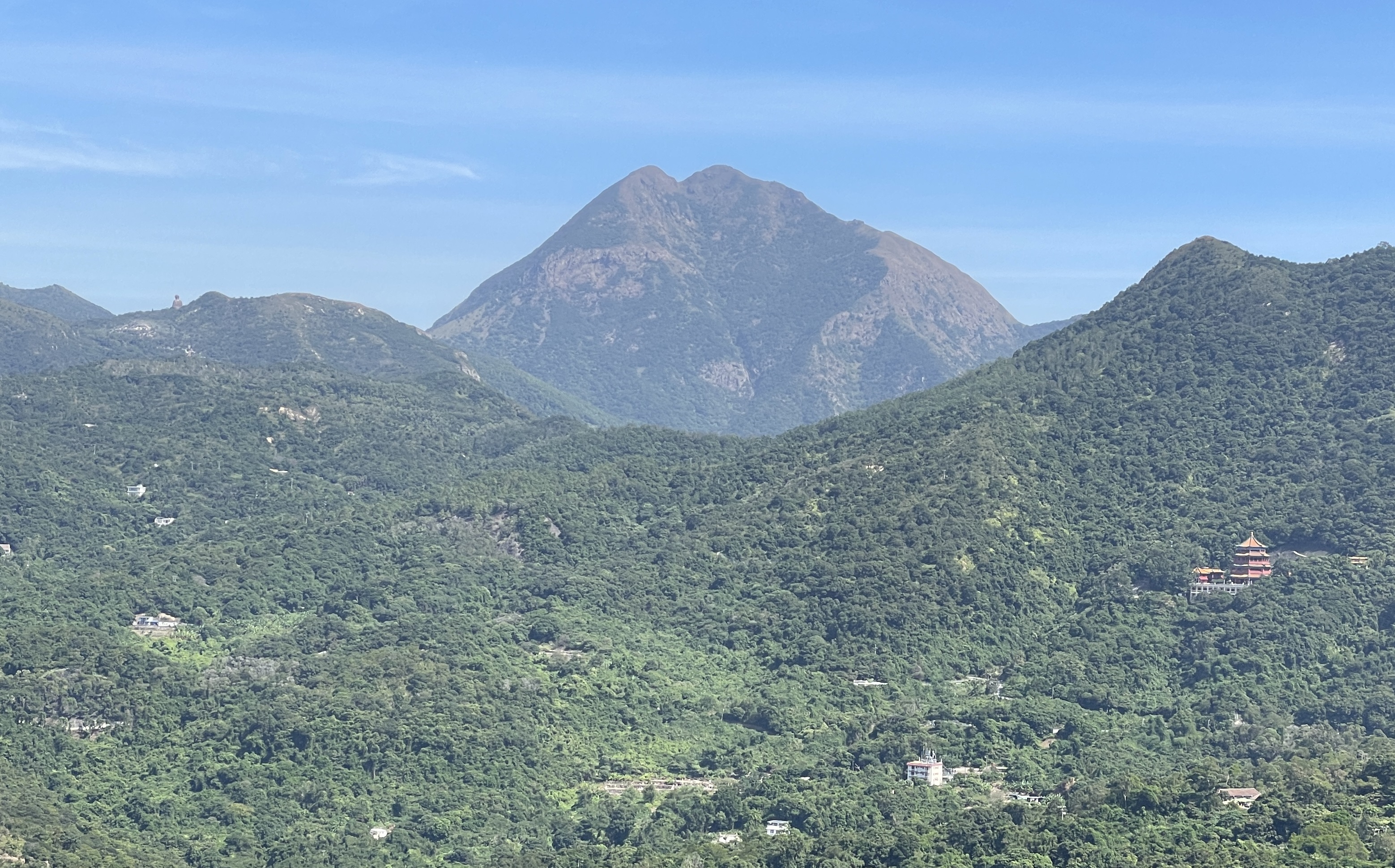
Is Lantau actually a mountain or an island? Historically known as "Tai Kai Shan", Lantau has carried "mountain" (Shan) in its Chinese name since ancient times, yet it is the largest island in Hong Kong, covering an area of approximately 148 square kilometres. Was the island named a "mountain" because it is mostly mountainous with very little flat land? Some of Lantau's slopes are steep and rugged, and its highest peak, Lantau Peak, is colloquially known as "Lan Tau Shan" (literally "broken head mountain") due to its craggy crest. Was the spelling "Lantao" on early Western maps indeed a phonetic transliteration of "Lan Tau"?
Geology Shapes Topography

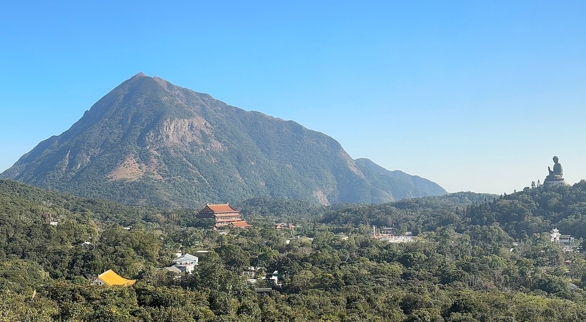
Lantau Island is characterised by its numerous towering peaks, five of which rank among Hong Kong's ten highest mountains, all soaring above 700 metres (m): they are Lantau Peak (934m, the city's second-highest), Sunset Peak (869m), Lin Fa Shan (766m), Nei Lak Shan (751m), and Yi Tung Shan (749m). These mountains stand majestically due to their geological composition, consisting primarily of volcanic rocks like rhyolite and tuff. Exceptionally hard and highly resistant to erosion, these volcanic rocks have withstood ages of weathering and erosion to preserve the high-altitude terrain. In the past, apart from the aid of maps, mariners also relied on these prominent mountain landmarks to navigate and find their bearings from afar.
[The oblique aerial 3D photo of Lantau can be accessed from the online application platform "Open3Dhk" by Lands Department.]
Topography Creates Habitats
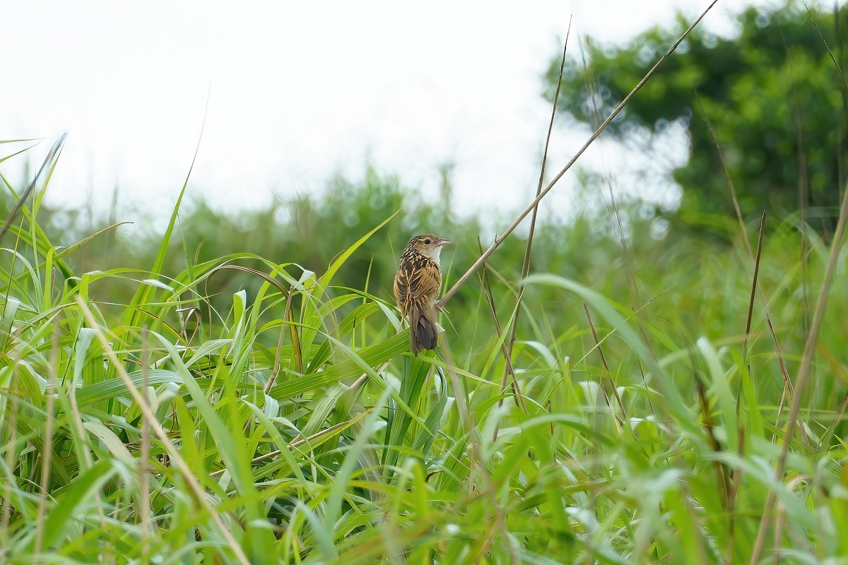
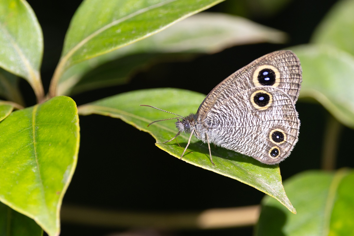
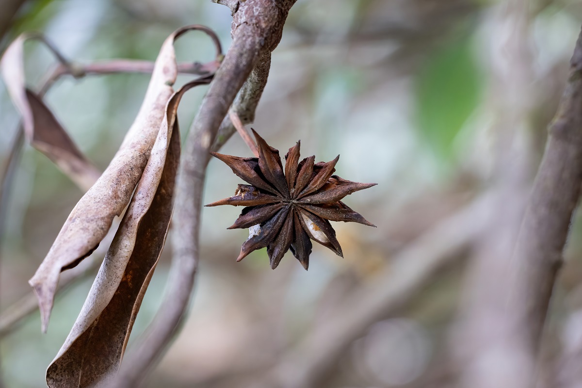
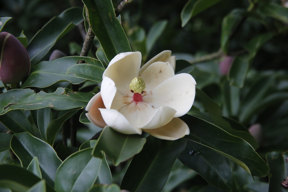

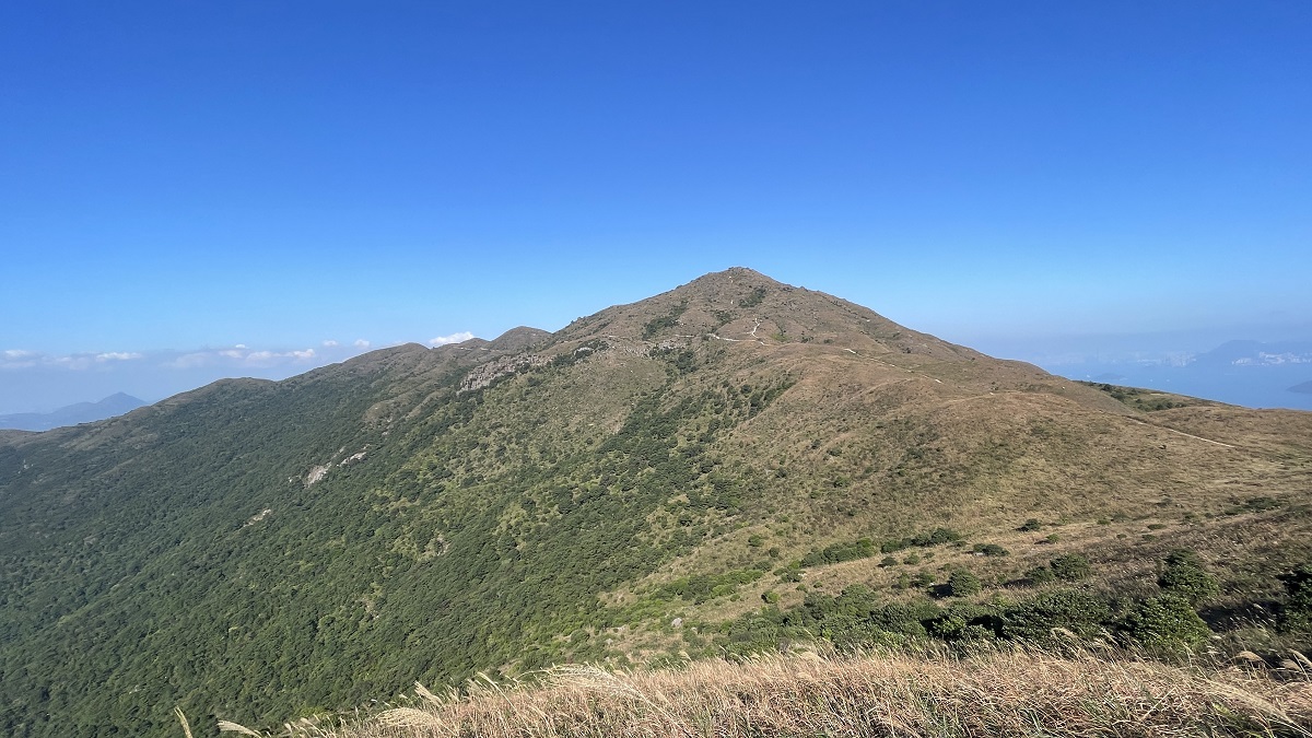
The slopes of high hills are rarely visited by humans, where the upland climatic and steep topographic conditions give rise to a unique upland ecological environment. Taking Lantau Peak as an example, the temperature at its summit is generally 5 to 10 degrees Celsius lower than that at ground level. Due to its high terrain, the summit is often wreathed in clouds and mist with high humidity, while the summit and ridges regularly experience strong winds. The exceptionally steep northern slopes of Lantau Peak are covered by dense shrubland, while the northern slopes of Sunset Peak feature montane natural woodland, providing ideal habitats for herbs, ferns and mosses. These habitats nurture a variety of rare flora such as the species of Exbucklandia, Magnolia, Manglietia and Illicium, as well as and a few rare fauna such as Chinese Grassbird and a butterfly species called False Four-ring.
To protect these unique habitats and their rare species, Sunset Peak (331 ha) and Lantau Peak (116 ha) were designated as Sites of Special Scientific Interest in 1976 and 1980 respectively, and were incorporated into the country parks of Lantau in 1978 to safeguard them against development threats and human disturbance.
Topography and Soil Conditions Favourable for Tea Production
Extended Reading:
The uplands of Lantau Island are often cloudy and misty, where the hilly topography and soil types are particularly suitable for the growth of tea trees. The Gazetteer of Xin'an County, published in the early 19th century, already recorded: "the natives harvest it on the hills on Chingming, naming it Lantau Tea", and noted that "local tea production is abundant…the Lantau Tea from Lantau Peak…aids digestion and relieves fever…it is the most renowned in the region". James William Hayes, the former District Officer, collected data indicating that villagers from Pa Mei (Shan Ha) and Pui O used to harvest tea leaves at Sunset Peak, while villagers from Tong Fuk harvested tea leaves from Lantau Peak. These tea shrubs are believed to be wild plants of substantial abundance, but subsequent frequent hill fires might have reduced their quantity. Mr Hayes interviewed a woman born in Tung Chung in 1879, who recalled harvesting tea leaves with her mother at a tea garden on Lantau in the late 19th century, suggesting that commercial tea gardens already existed on Lantau in the 19th century.1
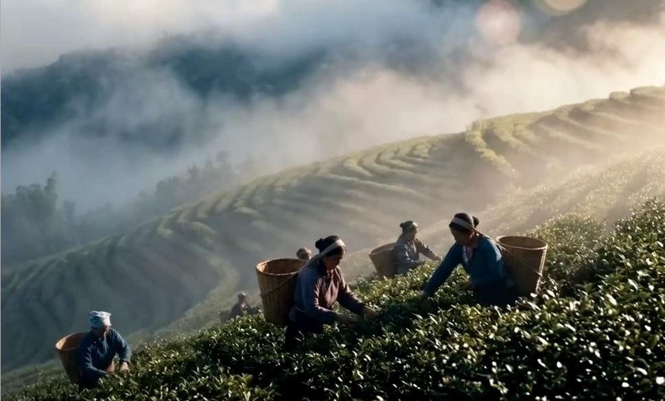
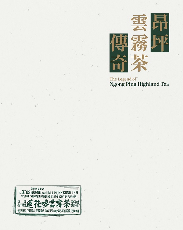
The largest site for tea production near Lantau Peak was the Ngong Ping Tea Garden, located on the Ngong Ping plateau at the northern foothills of Muk Yue Shan. Following World War II, Brook Antony Bernacchi, a Queen's Counsel, founded the tea garden for tea cultivation and production. The business reached its peak between the late 1960s and early 1970s, registering its own trademark and producing commodities for local consumption and export.
|
Conditions for Tea Planting |
Religious Places
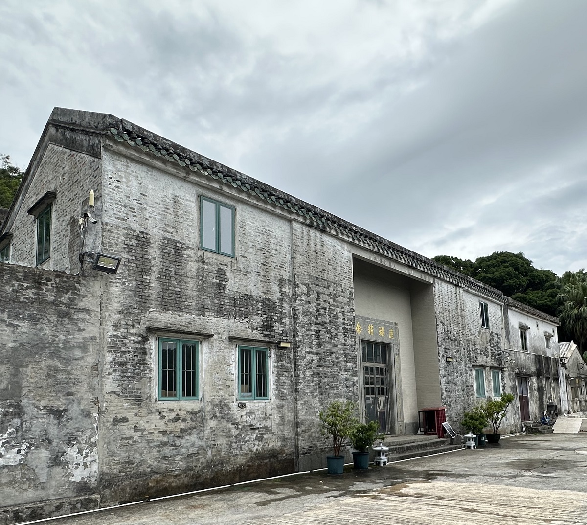
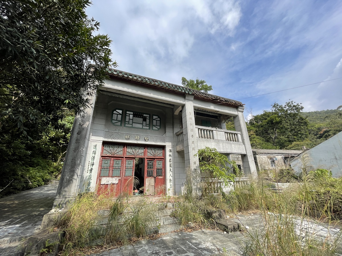
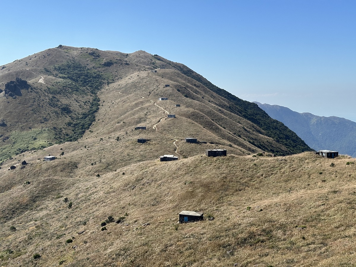
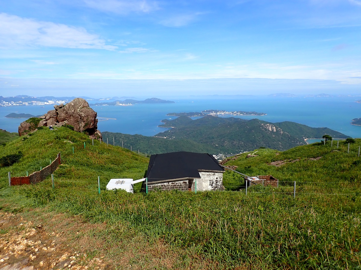
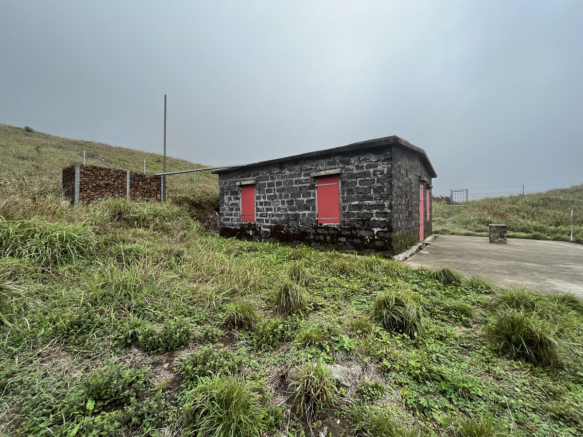
The remote and tranquil hillsides of Lantau, far removed from the hustle and bustle of village settlements, attracted followers of various faiths to establish their sanctuaries. Between the late 19th and early 20th centuries, Taoist priests and Buddhist monks established temples, monasteries and meditation huts in the Luk Wu, Keung Shan, and Ngong Ping areas for personal and communal spiritual cultivation. Meanwhile, Western missionaries from Europe and North America, who struggled with Hong Kong's hot and humid summers, constructed a number of stone cabins on Sunset Peak and Yi Tung Shan from 1925 onwards. Collectively known as Lantau Mountain Camp, these cabins served as venues for summer escapes and religious retreats.
Related video: Encounter South Lantau – Lantau Mountain Camp
[Acknowledgement to the Geological Survey Section of the Geotechnical Engineering Office for providing the geological and geomorphological content of Geo-logs.]
1 Hase, P. H., J. W. Hayes and K. C. Iu, "Traditional Tea Growing in the New Territories", in Journal of the Hong Kong Branch of the Royal Asiatic Society, Vol. 24, (1984), p. 269 and 271.